Sara Sheehy worked in partnership with Visit Idaho to create this Travel Tip.
Travel through some of the most expansive views in Idaho with a trip along the Peaks to Craters Scenic Byway. This 140-mile route features a diverse landscape of towering mountains, sagebrush-filled high desert, winding streams and rivers, and a volcanic lava field that captures the imagination.
Peaks to Craters can be enjoyed in a single day, but to savor the experience, plan for a long weekend. Towns along this scenic byway are well spread out, so be sure to fuel up and bring enough snacks to keep your stomach happy between destinations.
Ready for the adventure? Let’s get going.
Where to Start on the Peaks to Craters Scenic Byway
Driving the Peaks to Craters Scenic Byway is gorgeous in either direction, but for a literal vibe, travel from the mountainous north to the lava-filled south. This journey begins at the intersection of Idaho 75 and US 93, near the town of Challis.

Start off at the Land of the Yankee Fork State Park, which is the jumping-off point for side trips to the historical mining ghost towns of Custer, Bayhorse, and Bonanza. At the park itself, you’ll find a family-friendly mining museum, a gold-panning station for kids, and plenty of information on the local sites. Walk the short interpretive trail to learn about the bison jump, where Shoshone hunters once herded small herds of buffalo over a cliff.
Heading south from the Land of the Yankee Fork, open range stretches in every direction. Keep an eye out for free-roaming cattle! This is just the start of those expansive views that the scenic byway is known for. Wind through the surprisingly narrow Grand View Canyon before climbing to the top of Willow Creek Summit at 7,161 feet elevation. From here, the Lost River Mountains, a range that is home to 12,662-foot Mount Borah, Idaho’s tallest peak, dominates the landscape.

As you descend Willow Creek Summit toward Mackay, don’t miss the short detour to the Lost River fault scarp. On October 28, 1983, a 6.9 magnitude earthquake caused a rip in the earth’s surface at the base of the Lost River Mountains. During the quake, the mountains rose six inches, while the valley floor fell six feet. The resulting 20-plus mile fault scarp is clearly visible from the highway, but to get closer, drive 2 ½ miles down the well-graded Doublespring Pass Road for an interpretive site with signs, restrooms, and stunning mountain views.
Where to Eat and Stay in Challis
In this northern stretch of the scenic byway, Challis is your destination for food, drink, and lodging. Stop in the Tea Cup Cafe and Bakery for a strong cup of coffee and a fresh pastry, or head to The Village Inn Motel & Restaurant for a sit-down meal. Stay in one of The Village Inn’s rooms for the night or book a campsite at the Challis Golf Course RV Park.
Visiting Mackay and Arco
As you approach Mackay, one thing is clear—this is a town of farmers and ranchers. Irrigated green fields, shockingly bright after miles of sagebrush, edge the highway. Make a stop at the turquoise-colored Mackay Reservoir, whose waters support rainbow trout and kokanee in its year-round fishery. A large, modern campground for tents and RVs perches on the reservoir’s southern edge. Anglers will want to pull off at one of the many points along Highway 75 to access the tailwater of the Big Lost River below the Mackay dam, where they’ll find plentiful rainbow trout, brook trout, and mountain whitefish.

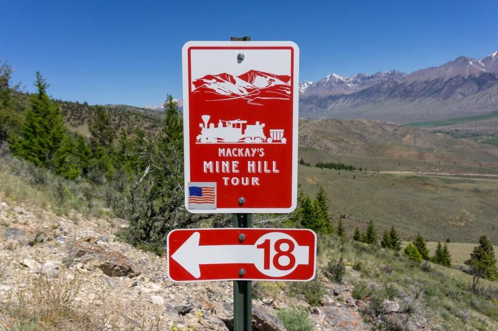
Downtown Mackay may not immediately draw the eye, but on the outskirts of town lies Mine Hill, a historic mining district that can be toured by vehicle, ATV, or bicycle. Visit the ghost town of White Knob, walk on the wooden Shay railroad trestle, and marvel at 19th-century engineering in the form of aerial tramway towers. Fifteen miles of Mine Hill are accessible to any vehicle; an additional 5 ½ miles are open to high clearance vehicles and 4 miles more to ATVs, motorcycles, and hikers.

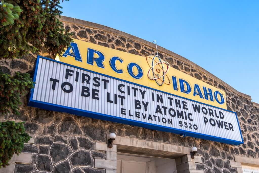
From Mackay, it’s a short drive to Arco, the first town in the world to be lit by atomic power. Here, the scenic byway turns southwest toward the volcanic landscape of Craters of the Moon National Monument.
Where to Eat and Stay in Mackay and Arco
Mackay is at the center of this agricultural region, and it’s where you’ll find most of the area’s restaurants and hotels. Ken’s Club is a local favorite for dinner, serving up steak, chicken, pasta, and lighter fare. The Wagon Wheel Motel & RV Park welcomes both overnight guests and campers.
In Arco, the KOA campground offers up a clean place to spend the night (cabins available), and Pickle’s Place is a well-known destination for sandwiches, hamburgers, and deep-fried pickles.
What to do at Craters of the Moon National Monument and Silver Creek Preserve

Craters of the Moon National Monument and Preserve is a surreal landscape of lava formed during eight volcanic eruptions between 15,000 and 2,000 years ago. You’ll see fingers of hardened lava stretching across the land long before you reach the park itself. Keep going until you arrive at the visitor center, which is full of information about your unexpected surroundings.
A seven-mile loop road winds through the park offering scenic viewpoints, short and long hikes, the chance to scramble up a cinder cone, and several caves that are open for exploring. Craters of the Moon is also an International Dark Sky Park; the on-site campground (first-come, first-served) is the perfect spot to spend the night and stargaze.
Miles of lava-filled landscape continue to the west of Craters of the Moon, gradually fading to sagebrush and ranch lands near the town of Carey. Stop by the Carey Lake Wildlife Management Area, a 750-acre wetland and shallow pond that is a favorite with birdwatchers. In town, turn right onto US 20 and drive underneath the Queen’s Crown—that’s the name of the band of cliffs on your left—to Picabo.

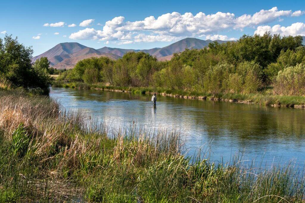
You might miss Picabo if you blink, so keep your eyes wide open to see the beauty of this tiny hamlet. Head to The Nature Conservancy’s Silver Creek Preserve to explore the natural wonder that is Silver Creek. This spring-fed waterway is one of the world’s most celebrated angling destinations and home to a remarkable diversity of birds and wildlife. Hike along the water’s edge or cast your line to try to draw up one of the creek’s notoriously hard-to-catch trout.
Where to Eat and Stay near Craters of the Moon
The 93 Bar & Grill in Carey is open for lunch and dinner from Tuesday through Saturday, and the Picabo Store offers up tasty breakfast burritos and sandwiches seven days a week. In addition to the campground at Craters of the Moon, camping is available at Picabo Angler RV Park. Silver Creek Hotel, located in nearby Bellevue, is the closest lodging option to Carey, Picabo, and Silver Creek.
Peaks to Craters Scenic Byway is a spectacular journey through some of Idaho’s most unique landscapes. Ready for more? From Peaks to Craters you can easily connect to the Sawtooth Scenic Byway near Picabo, and the Salmon River Scenic Byway near Challis.
Feature image credited to Sara Sheehy.
Sara Sheehy is a writer and photographer who travels the world seeking wild places and great stories.
Published on August 2, 2022
