Owyhee Mountains
Activities
Click icon for similar adventures
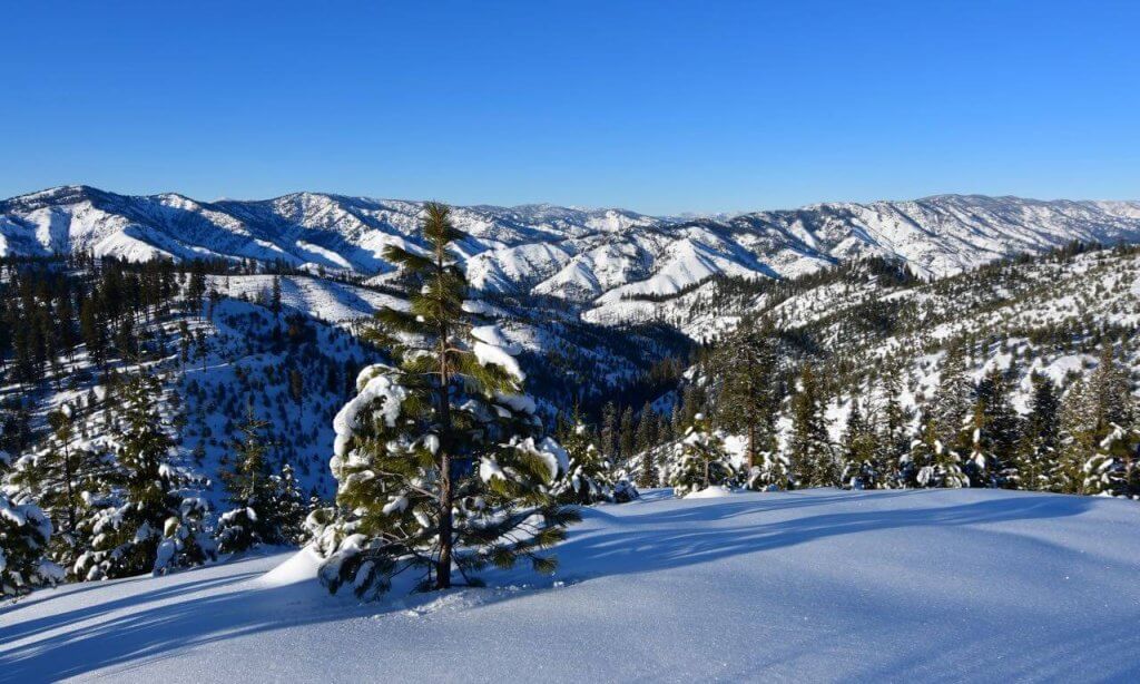
The Owyhee Range of extreme southwestern Idaho was one of the last explored areas in the lower 48 states. The terrain in the region is rugged and varies from 2000 feet to over 8000 feet in elevation. The true beauty and wilderness of the region lies in its lower canyons, some of which have probably seen only a few human visits, ever. The peaks are often visited in the summer by off road vehicles and hikers. Still, it’s extremely easy to not see a single soul on many of the peaks in the region.
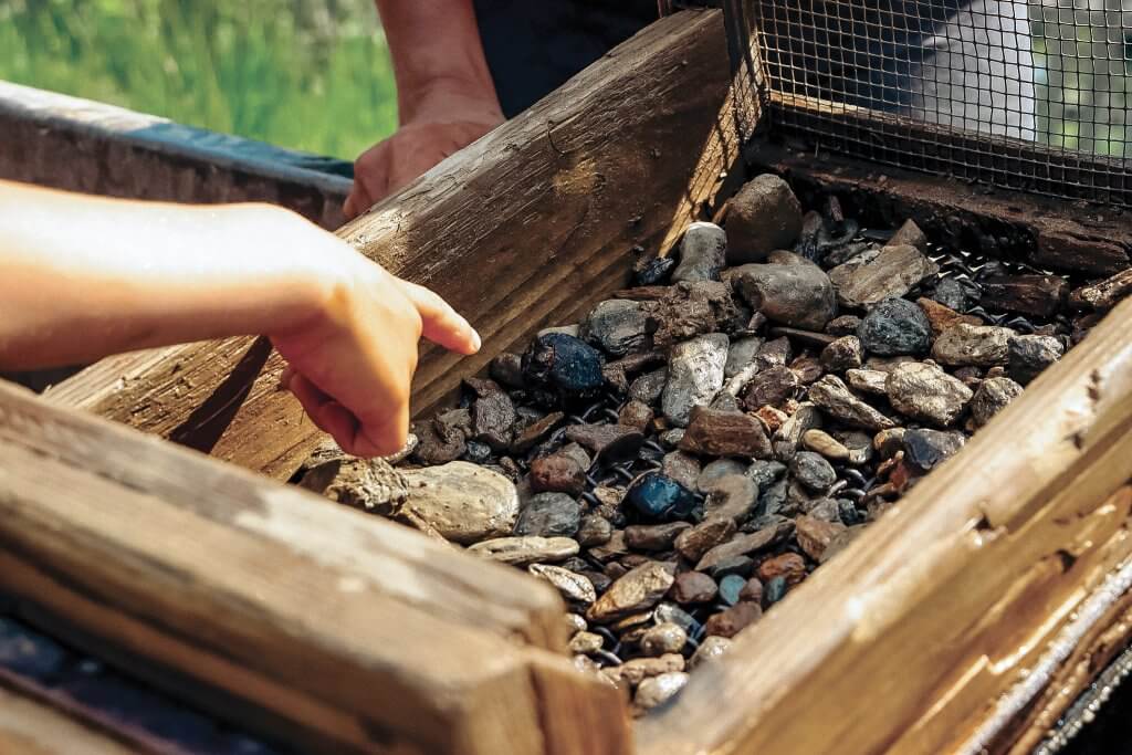
The Owyhee uplands are part of the Basin and Range region. The mountain range runs north to southeast separated by broad basins. Geologically the Owyhees extend southeast into Nevada and the Ruby Mountain region. The lower slopes of War Eagle Mountain contain some of the most impressive rock outcroppings in all of southwestern Idaho. The rock is mostly granite with a patina covering. Agates, petrified wood, garnets, and crystals are commonly found in the canyon portion of the region.
Resources
BLM Owyhee Field Office
Things to Know
- The old mining town of Silver City sits in a basin on the south side of the range’s highest peaks. The Silver City Stage Road from ID-78 closes in the winter due to heavy snow.
- The Owyhee Field Office offers a wide range of OHV recreation, including single track for OHV motorcycles and wider trails and two-tracks for ATVs and other motorized vehicles.
- Bruneau Dunes State Park
- Snake River Birds of Prey
- Most of the region is managed by the BLM with varied land uses, including off road vehicles, hunting, mining and cattle grazing.
Tips for Traveling in Idaho
There's so much to explore in Idaho, but where should you begin? Check out our weekly travel tips and start planning your next adventure.
