Syren Nagakyrie worked in partnership with Visit Idaho to create this Travel Tip.
The City of Trees is an outdoor recreation hot spot with more than 90 parks, 200+ miles of trails, hundreds of acres of open space and the Boise River Greenbelt for visitors and residents to enjoy.
Many of these sites are designed to be accessible for people with disabilities and provide opportunities for nature outings that can be easily reached by car or bus. Boise Parks and Recreation also offers an adaptive recreation program for disabled children and adults.
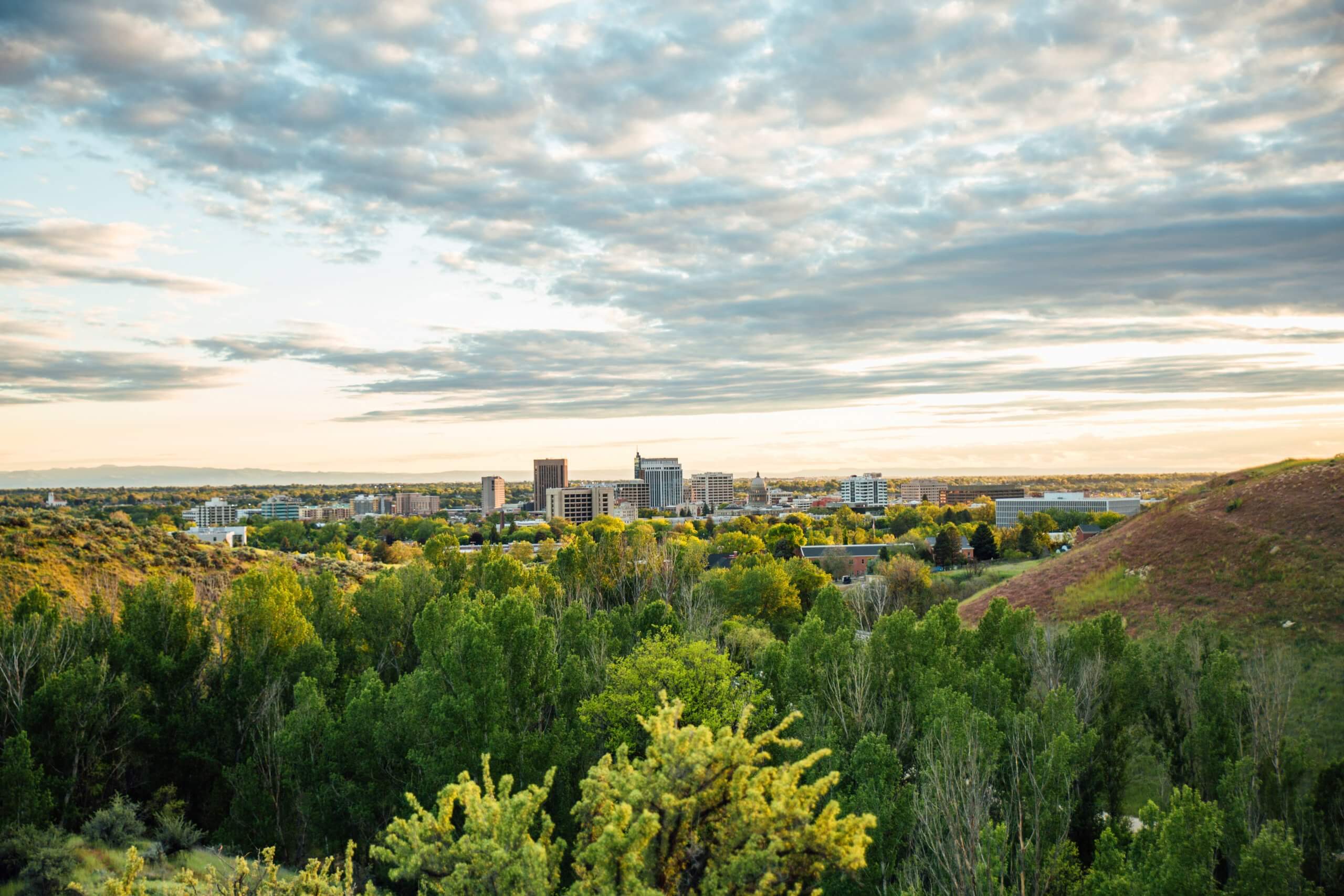
These three accessible parks are on the Ribbon of Jewels—a collection of riverside parks named for remarkable women in Boise history—and are linked by the Boise River Greenbelt, a 25-mile-long pathway that follows the north and south sides of the Boise River through the city. The path is generally paved and level, with some areas of compacted gravel and slightly steep grades—these areas are marked by signs and on maps.
The greenbelt links neighborhoods and parks along the river and offers incredible sightseeing and wildlife appreciation opportunities. While you could make a trip out of the entire greenbelt, there are no charging stations for power wheelchairs and scooters along the way.
Kathryn Albertson Park
Accessible Tips at Kathryn Albertson Park
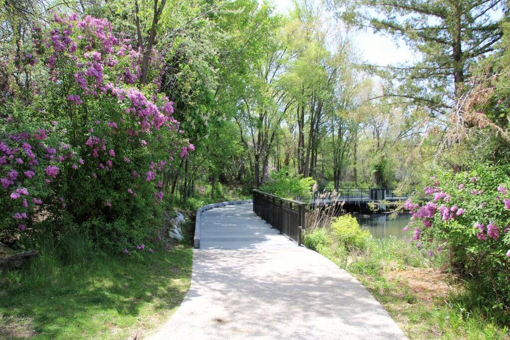
Kathryn Albertson Park is a city oasis for wildlife and people. This naturalized park is home to many resident and migratory wildlife and is part of the Idaho Birding Trail. It is also a very accessible park, with paved paths winding through meadows and around ponds and wetlands. There are several loops through the park that offer a variety of experiences and lengths for your enjoyment. The main loop is about a mile long. It begins at the parking lot, where there are accessible restrooms, a large map and interpretive signs about the park. There aren’t any maps in the park, so you may want to take a photo and bring it with you.
From the accessible parking spots, take the curb cut and follow the concrete path into the park. This concrete path continues throughout the park and is in generally good condition, though it does have a mix of small smooth stones embedded in the surface, which may be a little rough on some wheels. Pass The Eyrie, a reservable shelter with a striking water fountain, and continue through open meadows.
There are several overlooks of the ponds and wetlands, each with platforms made of composite boards and vertical metal guardrails that allow for a nice view. Plenty of benches are along the way and areas of shade to enjoy the experience out of the sun. There are also lots of trash cans and dog waste stations.
About a half-mile in, you’ll cross over a pond on a wooden bridge that is slightly rough but has no gaps, and then you’ll pass The Rookery pavilion. Just past The Rookery, an elevated boardwalk on the right takes you out along the pond for more wildlife appreciation opportunities.
Once you enjoy this, circle back to the main path, and after approximately three-quarters of a mile, continue left at the fork in the path. You’ll pass a set of accessible flush toilets. Go right at the next fork, and cross another wooden bridge. When you arrive back at The Eyrie, go right to return to the parking area.
Kathryn Albertson Park is not directly linked to the greenbelt, but you can access it by crossing Americana Boulevard.
Accessible Parking at Kathryn Albertson Park
Kathryn Albertson Park offers a large paved parking lot with four van-accessible spots.
Accessible Features & Amenities
Kathryn Albertson Park has restrooms, picnic tables, pavilions with reservation options and a water fountain.
Contact Information
City of Boise Parks and Recreation, 208-608-7600
Esther Simplot Park
Accessible Tips at Esther Simplot Park
Another unique experience in Boise, Esther Simplot Park is part of a large water complex with ponds, a lazy river and an accessible beach area. It is a popular spot for fishing, kayaking and swimming, and you can watch people tackle the artificial waves at the Boise Whitewater Park. It also provides easy access to the greenbelt for a further roll or stroll along the north side of the Boise River.
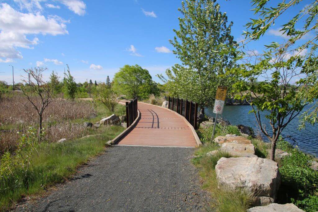
A paved path leads from the parking areas through the park, with access to benches and picnic tables along the way. The first parking area as you enter the park provides the most direct access to Friendship Island via a pier and a boardwalk that offers nice birding opportunities. The two accessible piers at the park are made of composite boards with vertical metal guardrails and are popular for fishing and picnicking, but unfortunately, there are no accessible spots for either activity.
To reach the boardwalk, follow the paved path a couple hundred feet past the pier and the island. It travels a short distance through a wetland before connecting with a gravel path that loops around the opposite side of the pond. This path is not wheelchair accessible—it has loose gravel, a couple of steep cross-slopes and a bridge that has more than an inch rise on both sides.
If you continue driving through the park, you can park nearer to the river and greenbelt access. From the last two parking areas, take the paved paths toward the south (with the river on your right), and you’ll pass the Boise Whitewater Park. There is also a paved kayak launch here. Continue through the park, pass a bridge over the river and then you’ll be on the Boise River Greenbelt. You can also reach the greenbelt if you take the paved paths from the parking area toward the north (with the river on your left).
As you leave the developed area of the park, the greenbelt forks—to the left is a flat, packed gravel path that travels between the Boise River and the man-made waterways in the park. The main trail continues to the right—it is paved and travels between the lake and a canal, but it has a 5 to 8% grade for more than 30 feet.
The park also offers beautiful views of the foothills, wide-open grassy areas and a playground, making it a wonderful destination for everyone in the family. Note that pets are not permitted at Esther Simplot Park. Service animals are welcome everywhere, except in the water due to contamination concerns.
Accessible Parking at Esther Simplot Park
Esther Simplot Park provides multiple paved parking areas with a total of nine van-accessible parking spots.
Accessible Features & Amenities
Esther Simplot Park has restrooms, water fountains, picnic tables and pavilions with electricity available for reservation.
Contact Information
City of Boise Parks and Recreation, 208-608-7600
Ann Morrison Park
Accessible Tips at Ann Morrison Park
This distinctive park encompasses more than 150 acres along the river and features a spray fountain, a playground with an accessible surface, accessible sport courts and paved raft pullouts. Ann Morrison Park also offers easy access to the south side of the Boise River Greenbelt.
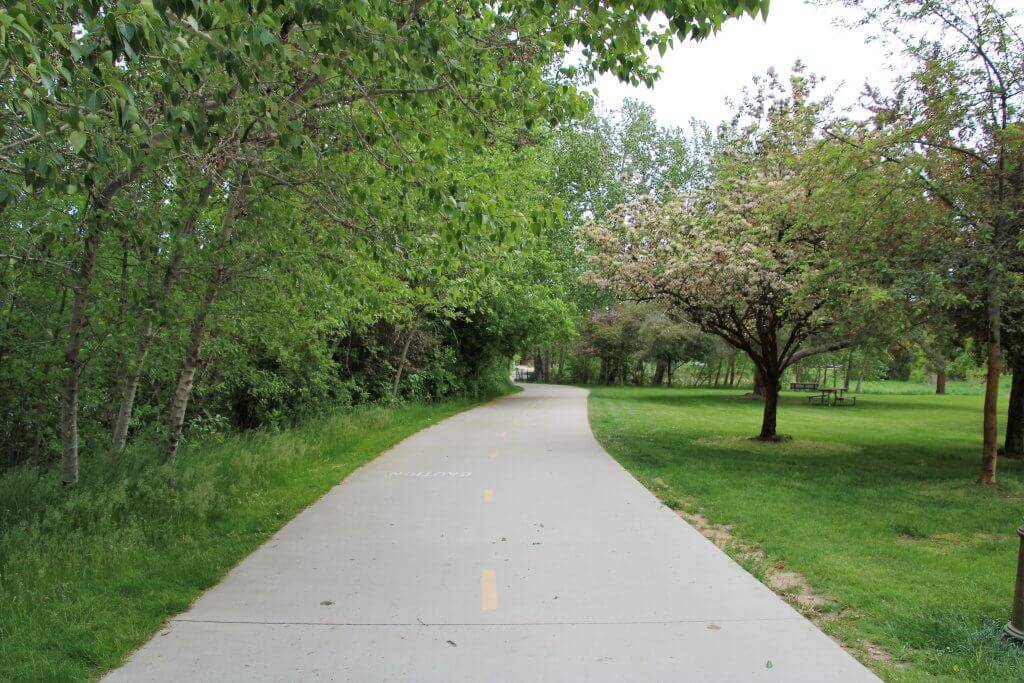
When you enter the park’s east entrance, go left to reach the parking area closest to the river. There are three accessible parking spots here. Follow the sidewalk toward the river and turn right on the greenbelt. You’ll continue through the park, passing the playground (be mindful of e-bikes or scooters that may be left on the pathway) and picnic area. There are lots of river views and benches with paved pullouts. After a few hundred feet, a paved ramp leads down to the river and a raft pullout—there are handrails, and it isn’t too steep, but be careful if you wheel down there because it ends right into the water.
Continue on the greenbelt past a footbridge that leads across the river, and then cross over a short wooden footbridge with slightly rough boards and an outdoor gym on the right. A quarter-mile from the parking area is the Old Timers shelter, which has some accessible picnic tables, a drinking fountain and a large statue of three deer. The greenbelt then leaves the park and continues past residential areas, offering a pleasant link to multiple neighborhoods and businesses.
There is a designated dog area on an island in the southwest corner of the park—go right when you enter the park instead of left to reach the parking lot. A footbridge with a slight grade leads over the water to a sidewalk that continues the length of the island. There is lots of open space for dogs to run and a paved picnic shelter. It is a nice option for anyone with a dog who can’t navigate varied terrain. Dogs are also allowed in the rest of the park, and may be off-leash from November 1 through February 28.
Accessible Parking at Ann Morrison Park
Ann Morrison Park offers multiple paved parking lots with van-accessible spots.
Accessible Features & Amenities
Restrooms, water fountains, picnic tables, tennis courts, a playground, dog park and pavilion with the option for reservation are all available at Ann Morrison Park.
Contact Information
City of Boise Parks and Recreation, 208-608-7600
Accessible recreation options can be found all around and surrounding Boise. Try these accessible wildlife adventures to expand your Idaho explorations.
Feature image credited to Syren Nagakyrie.
Syren Nagakyrie is the founder of Disabled Hikers, an organization building disability community and justice in the outdoors. They are the author of The Disabled Hiker’s Guide to Western Washington and Oregon: Outdoor Adventures Accessible by Car, Wheelchair, and on Foot and the forthcoming The Disabled Hiker’s Guide to Northern California. Learn more at DisabledHikers.com.
Published on September 13, 2022
