
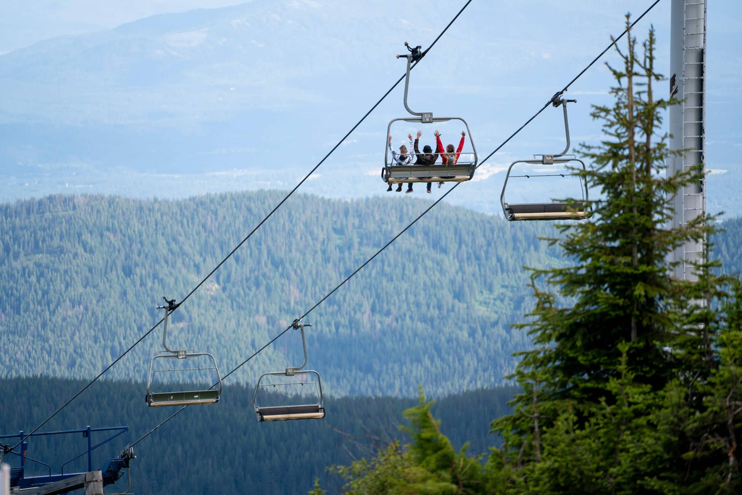
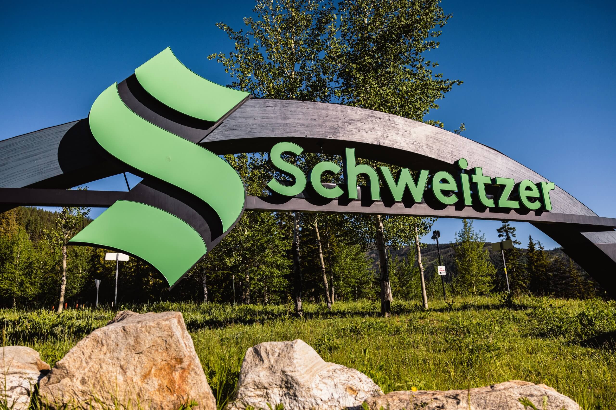
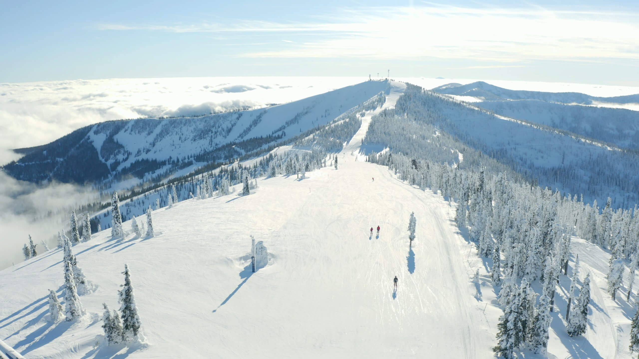
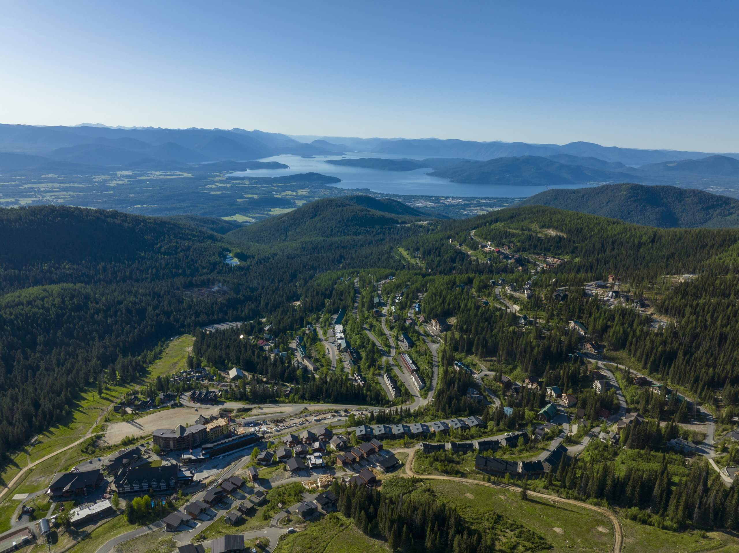
Schweitzer
Sandpoint, Idaho
The largest ski resort in northern Idaho, giving visitors and residents access…
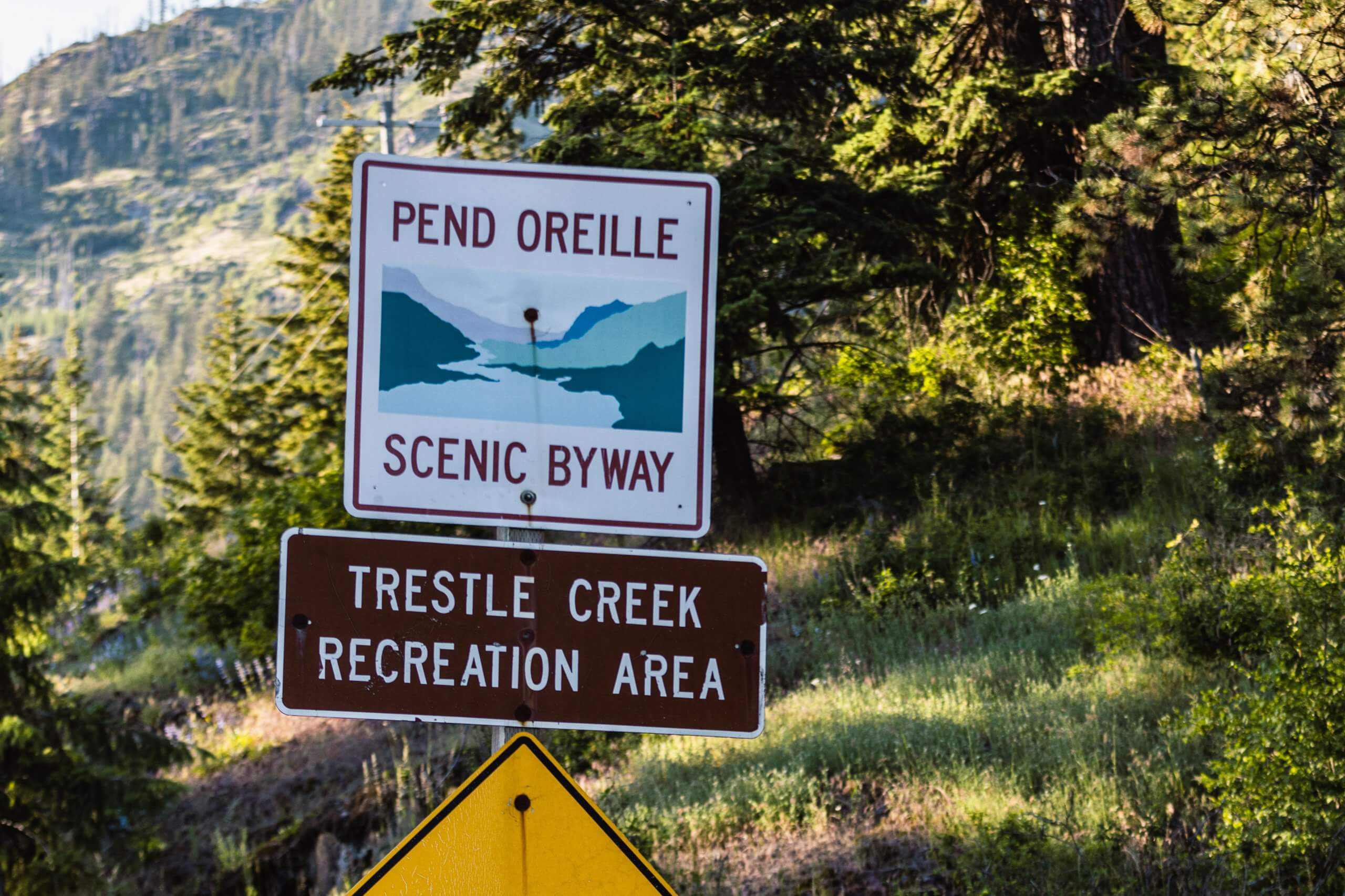
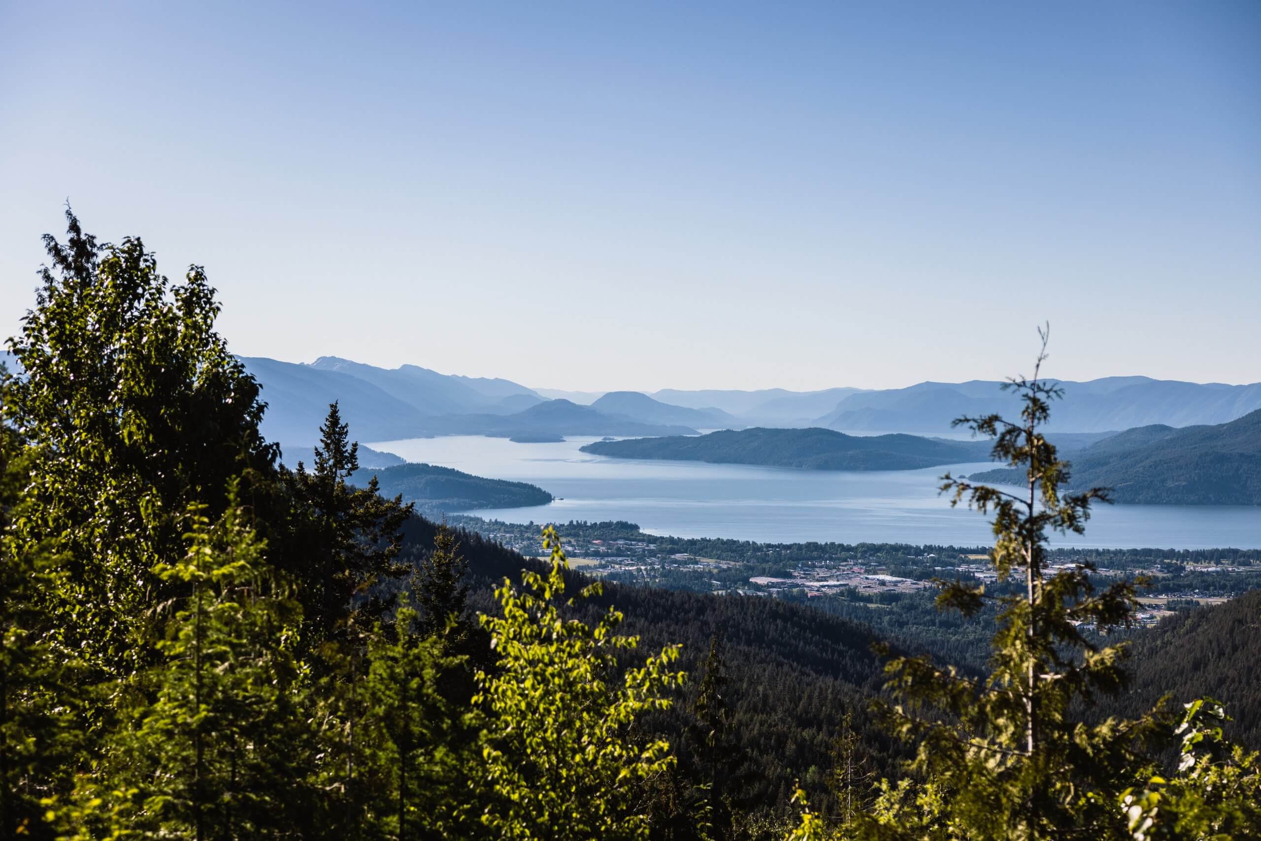
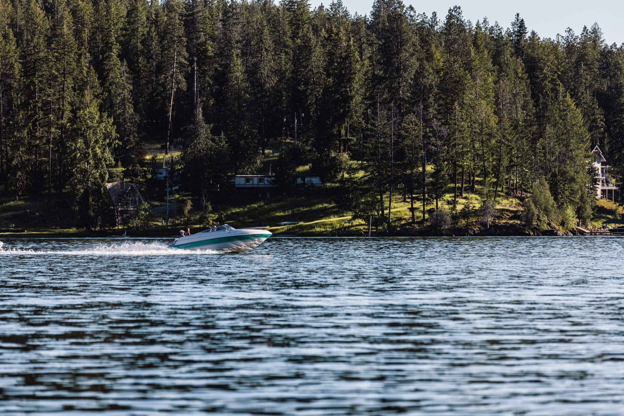
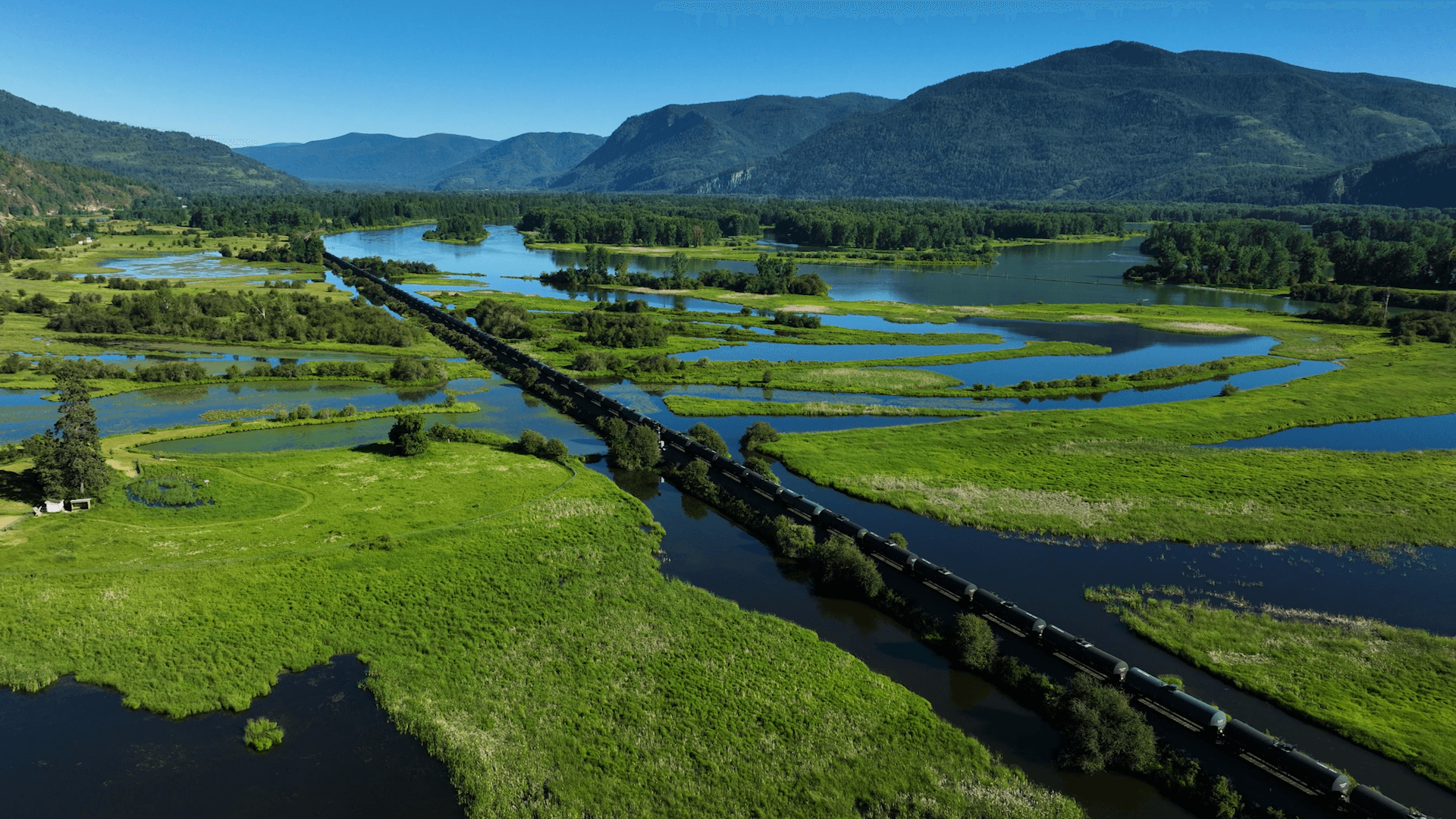
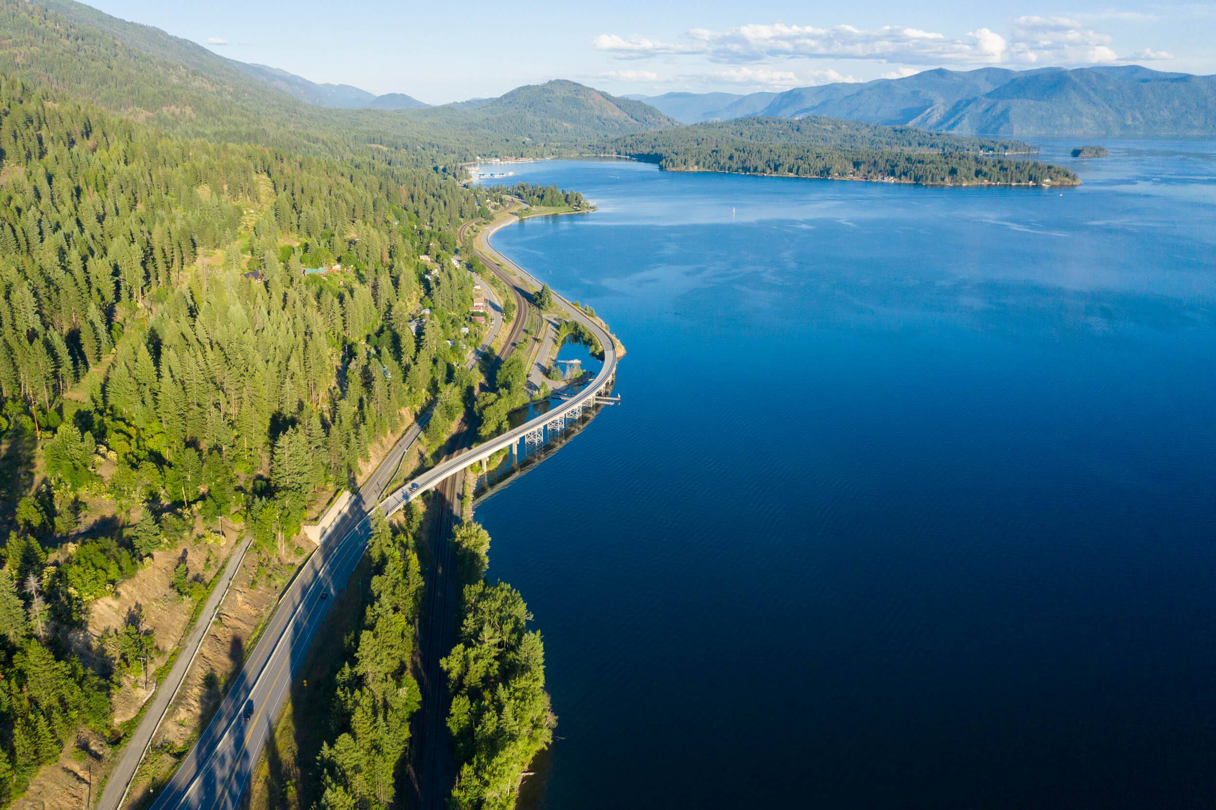
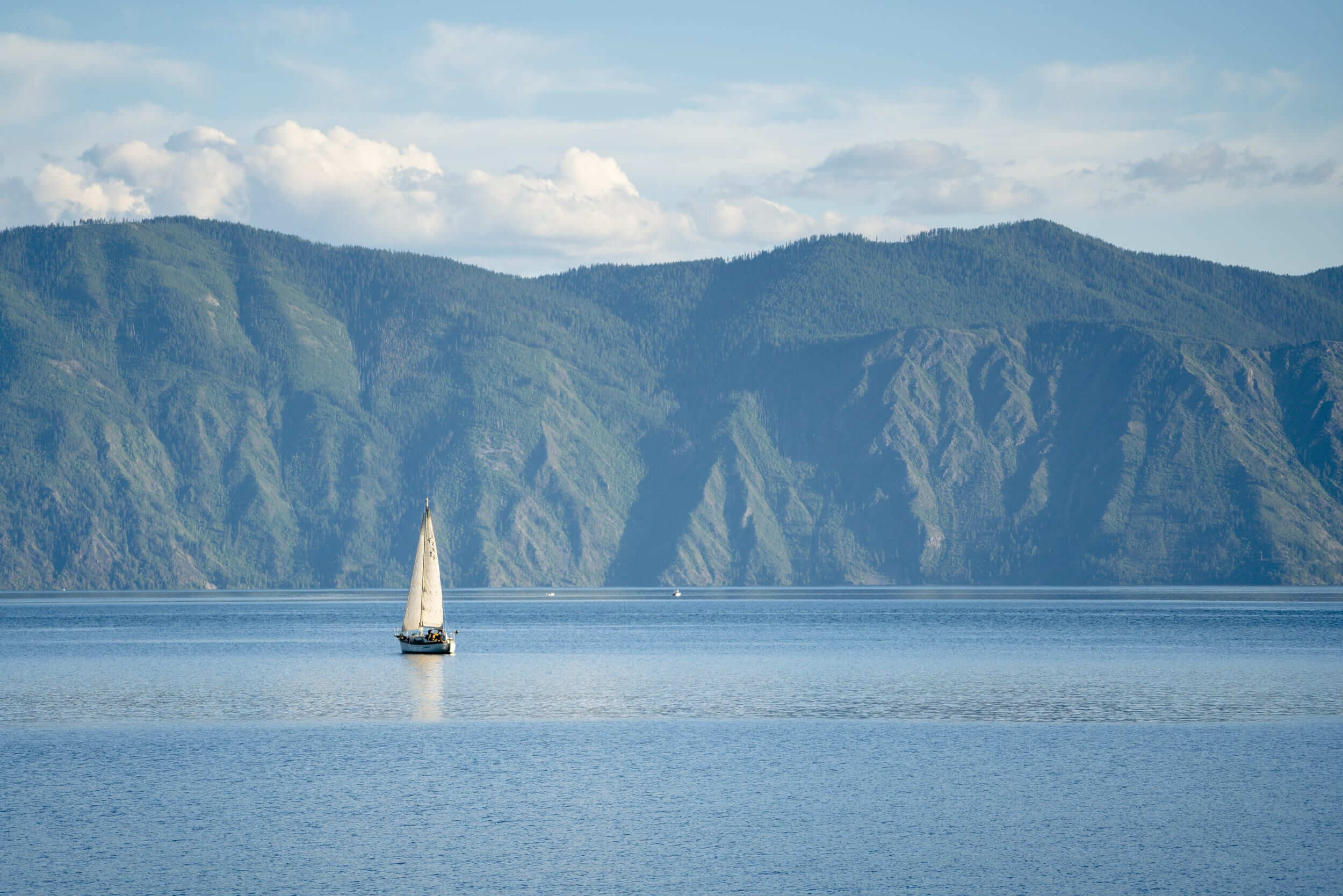
The rocky northern shoreline of Lake Pend Oreille—Idaho’s largest and deepest lake—sets the route for the Pend Oreille Scenic Byway. Revel in impressive alpine vistas, far-reaching forests and sparkling water as far as the eye can see. Accessible year-round, this byway offers magnificent winter views and dramatic fall colors.

A variety of scenic, natural, historic, recreational, archeological and cultural experiences can be found on Idaho’s 31 scenic byways. View the video to get a taste of the adventures that await you, and start planning your next road trip.


Turn-by-Turn Directions: This byway begins at U.S. 95 north of Sandpoint and follows Idaho 200 to the Montana state line.
Road Conditions: Two-lane paved road with numerous scenic turnouts. If driving during winter, be prepared for winter road conditions, including ice and snow.
Full Services in: Sandpoint, Clark Fork and Ponderay
Partial Services in: Hope
Motorcycle Route: Yes
Full Services: When gas, food and lodging are available
Partial Services: When gas and a few other facilities are available

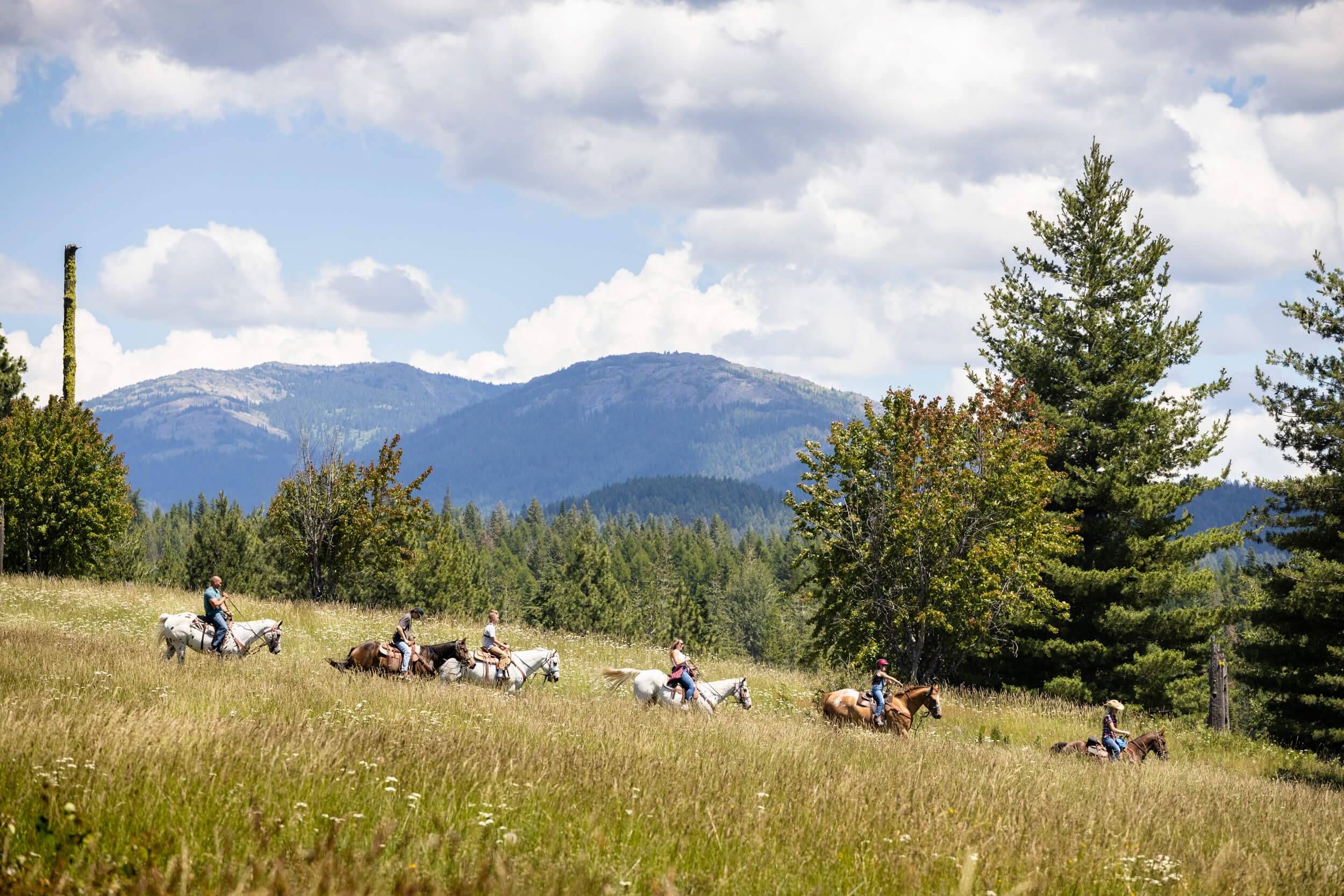
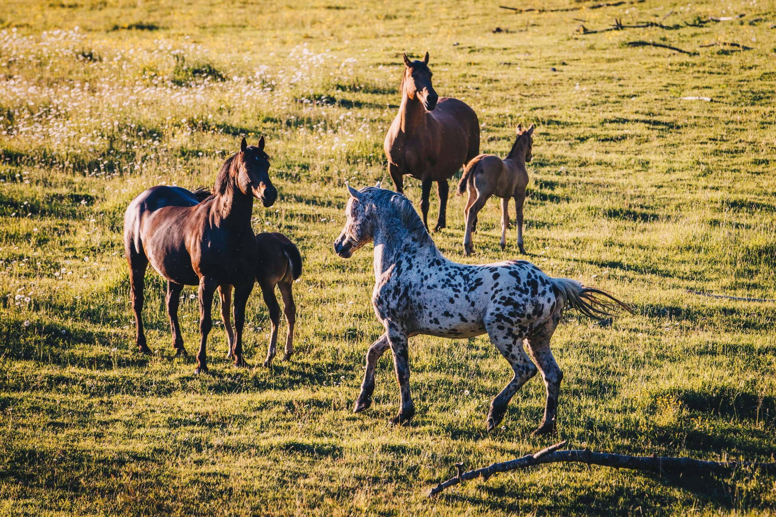
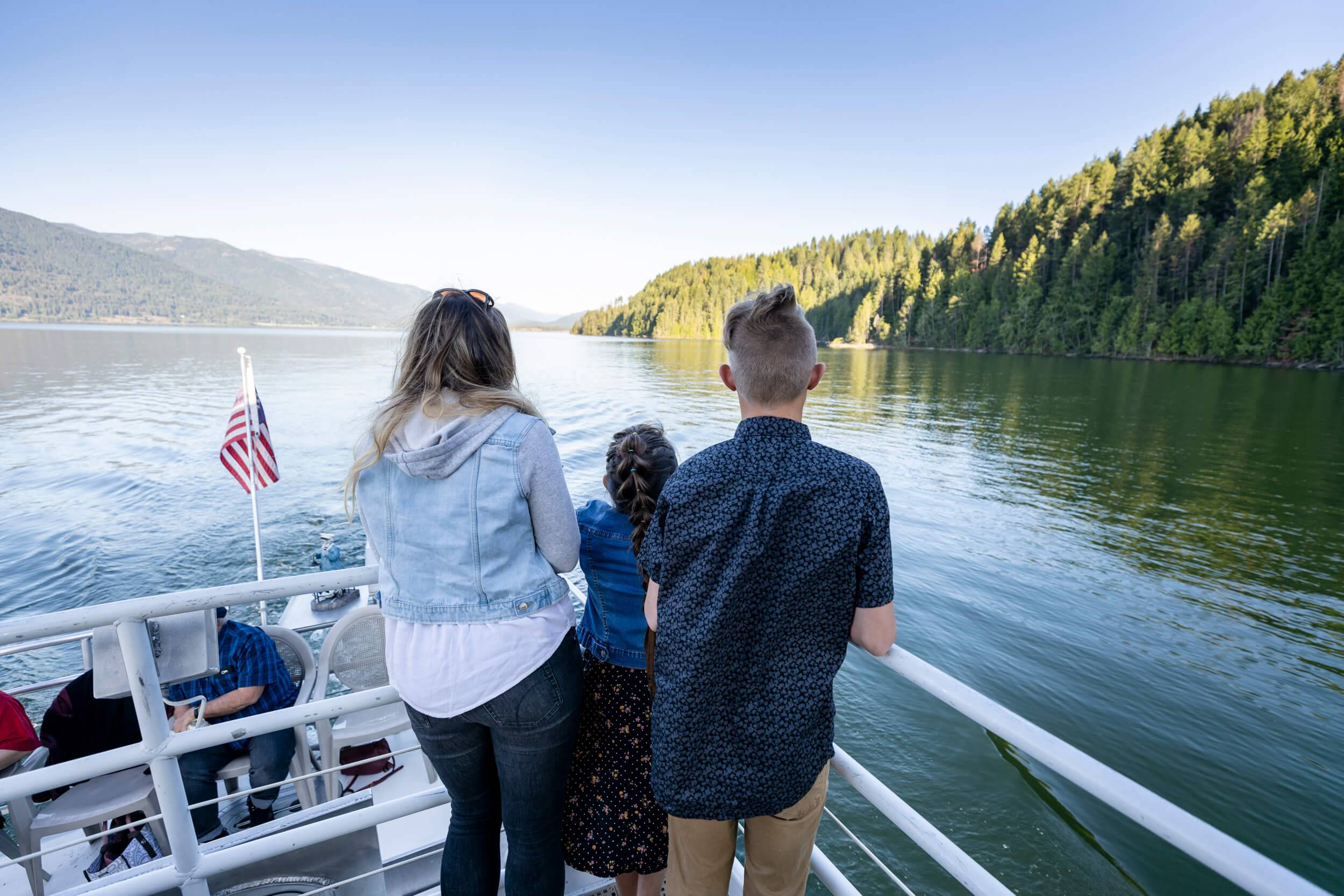
Four seasons of recreational activities greet visitors on the Pend Oreille Scenic Byway. Spend a day on the waters of Idaho’s deepest lake or hit the slopes at Schweitzer in the winter.


Start planning your epic Idaho road trip with the help of these free travel publications.

Need some ideas for your next Idaho road trip? Check out these travel tips and start planning your adventure.


