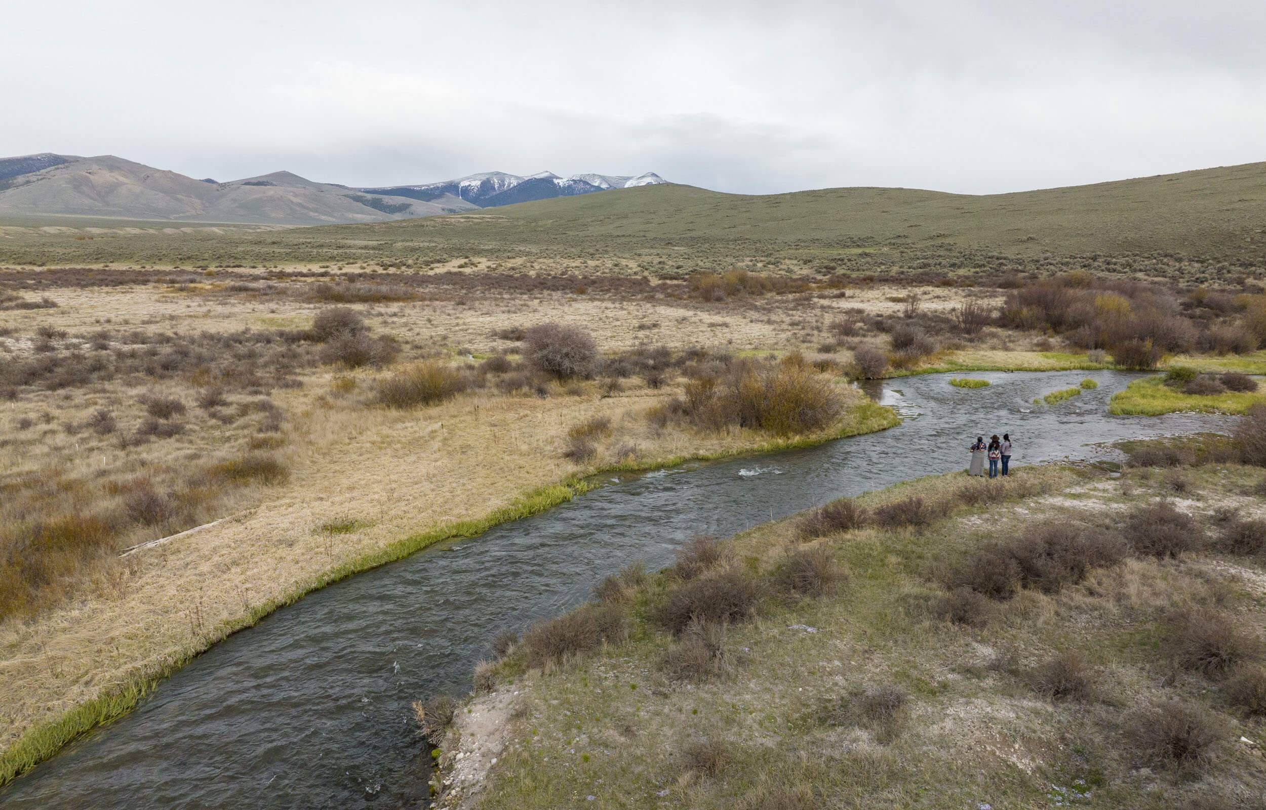
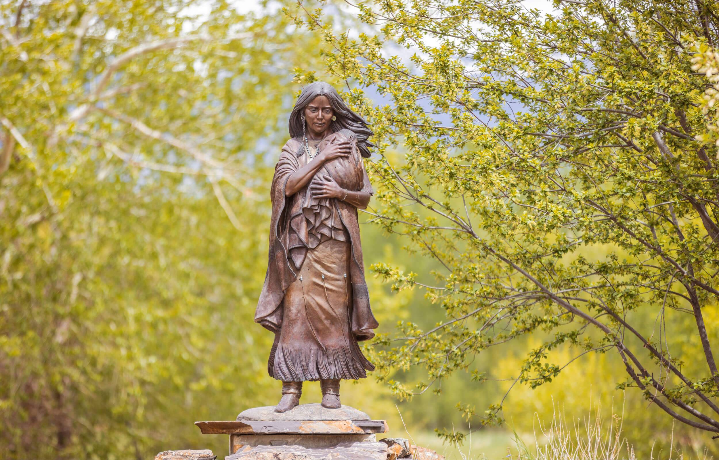
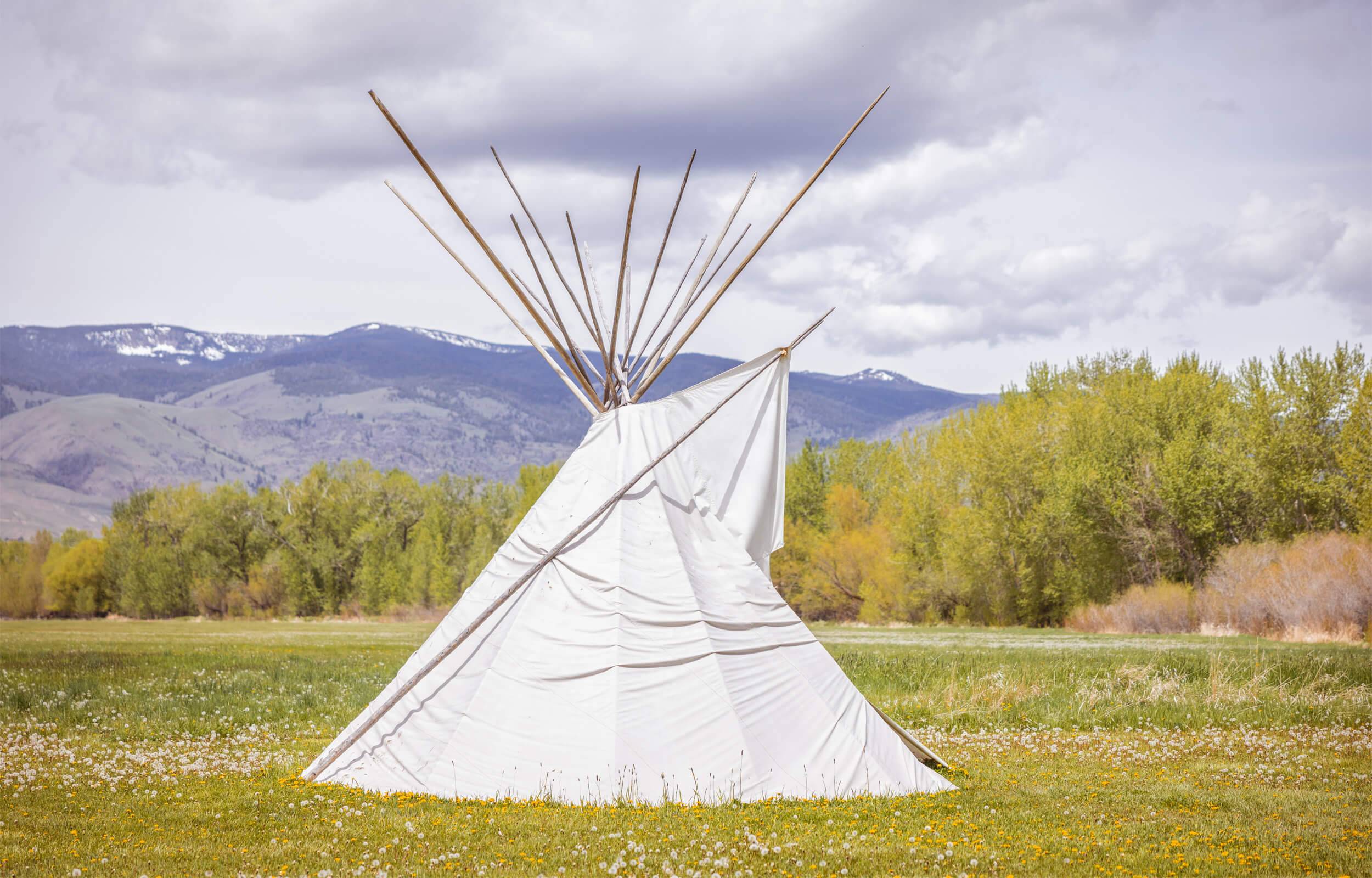
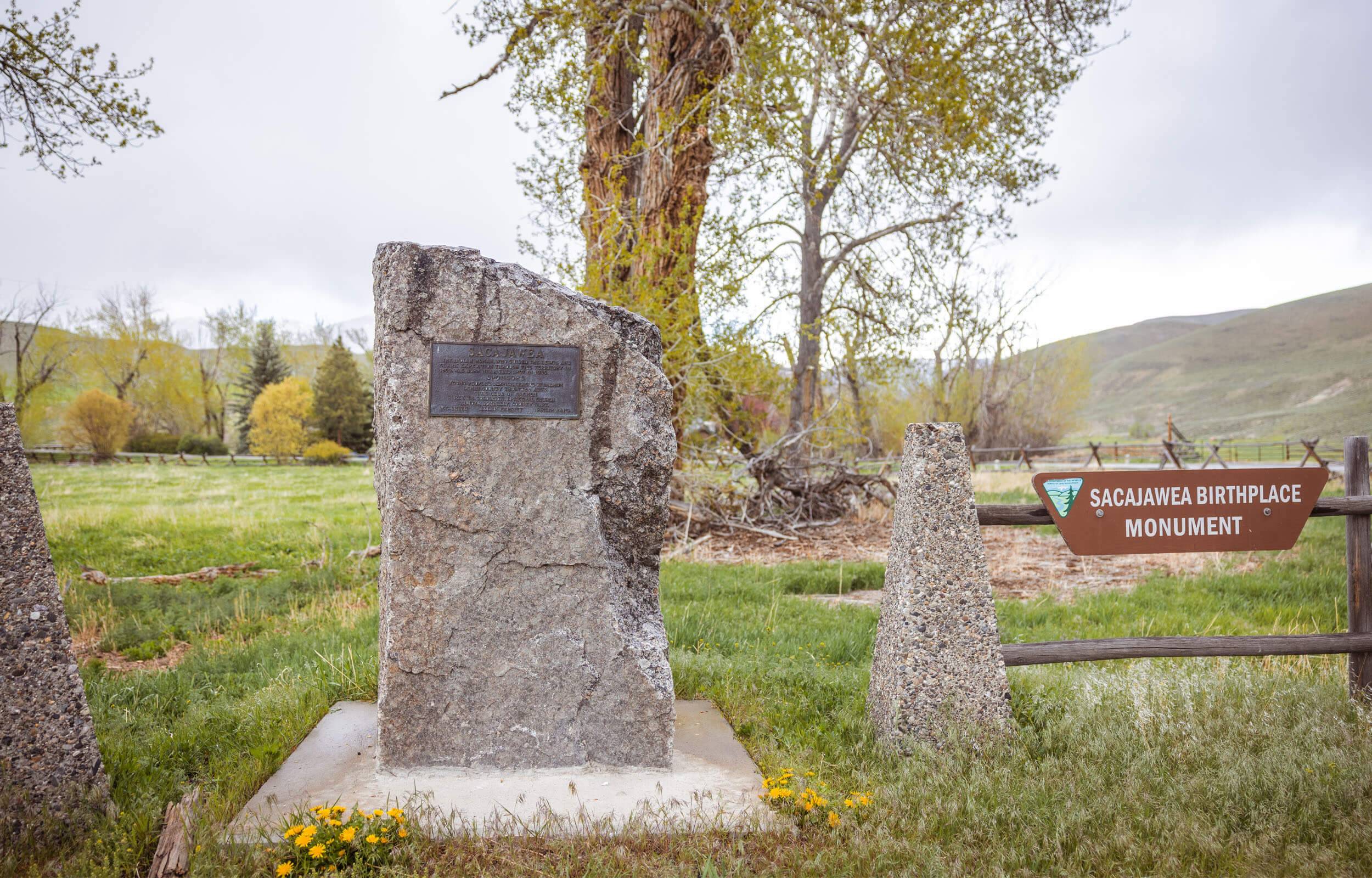
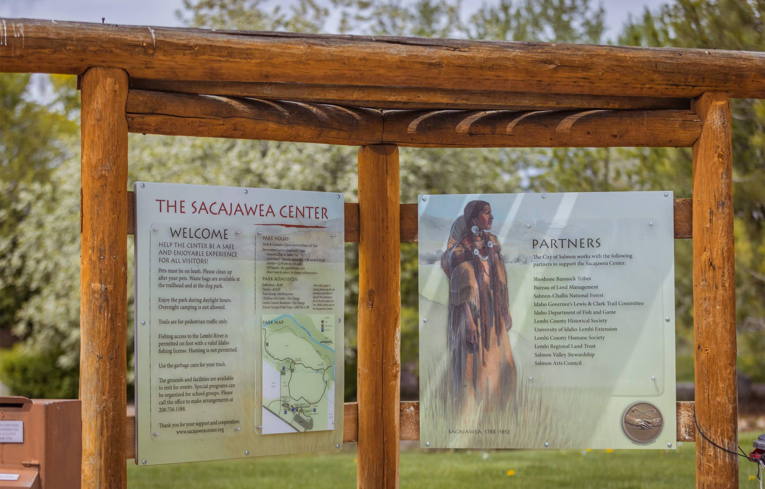
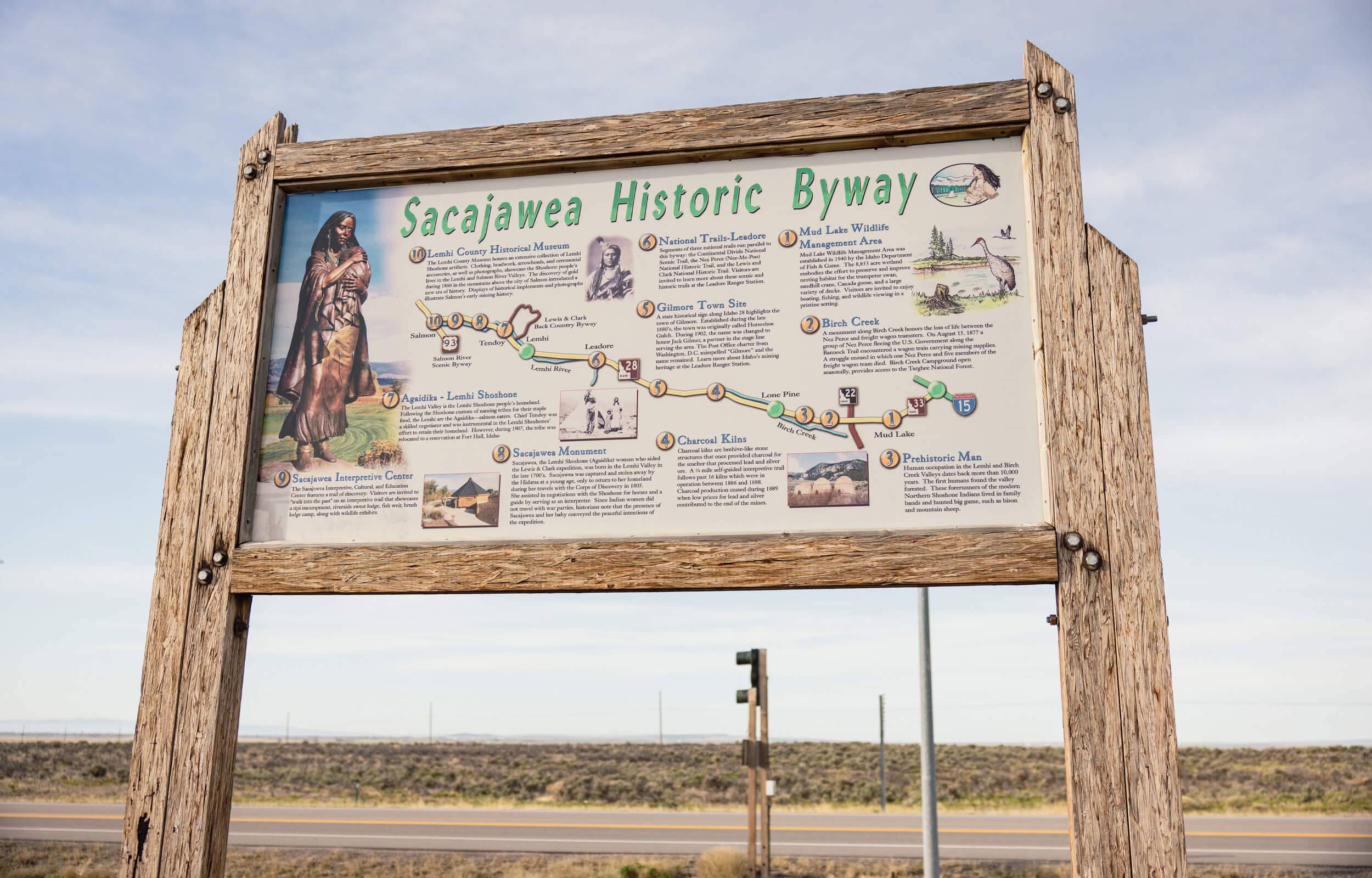
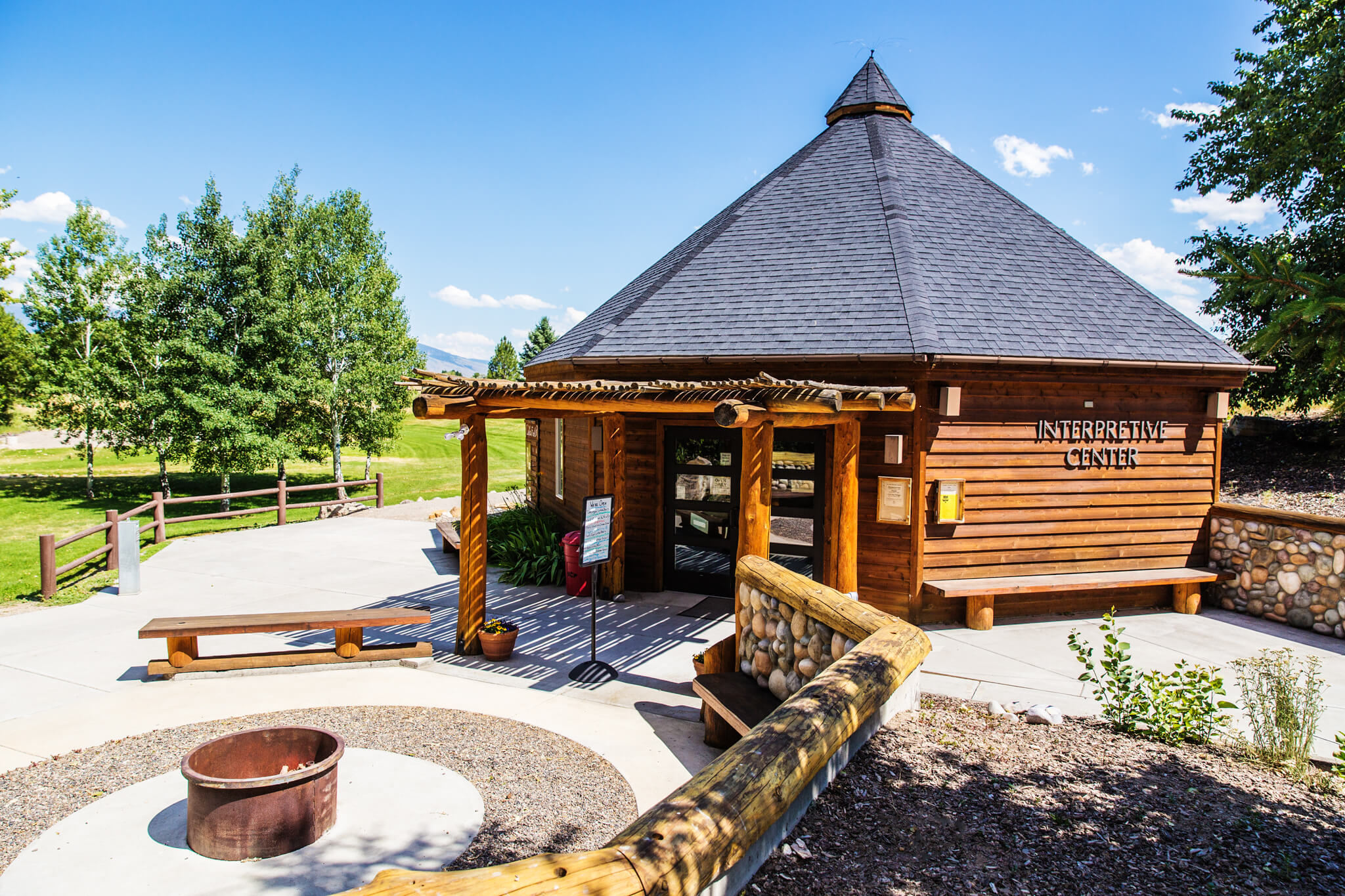
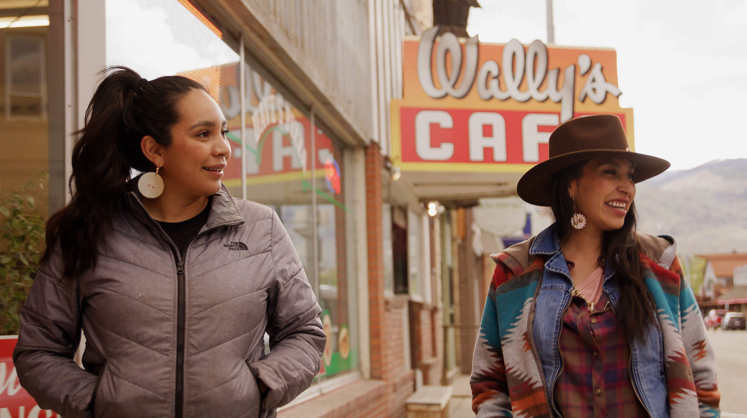
Skip to content
Sacajawea Historic Byway

Sacajawea Historic Byway

Tales of the past surround you on every side as you drive the Sacajawea Historic Byway. Parallel to the Continental Divide, this byway makes its way through the Lemhi River Valley, summits the Lemhi Pass and then drops onto the Snake River Plain. Discover rich Native American history and learn more about Sacajawea’s story and her impact on the Corps of Discovery and Idaho.

Sacajawea Historic Byway

Length

135 miles
218 km

Time Icon

Time

2 hours,
6 minutes

Sacajawea Historic Byway

When to Visit

Spring, Summer, Fall

Sacajawea Historic Byway

31 Byways. 31 Ways to Be Inspired.

A variety of scenic, natural, historic, recreational, archeological and cultural experiences can be found on Idaho’s 31 scenic byways. View the video to get a taste of the adventures that await you, and start planning your next road trip.

Sacajawea Historic Byway

Road Trip Tips

Turn-by-Turn Directions: The byway begins at the intersection of Interstate 15 and Idaho 33 at exit 143. Follow Idaho 33 for about 12 miles west to its junction with Idaho 28. Finally, take Idaho 28 northwest for 120 miles to Salmon.

Road Conditions: This byway consists of two-lane paved roads with areas for passing. Watch for icy conditions and snow drifts in winter.

Full Services in: Salmon

Partial Services in: Terreton, Mud Lake, Lone Pine, Lemhi and Tendoy

Full Services: When gas, food and lodging are available

Partial Services: When gas and a few other facilities are available

Sacajawea Historic Byway

Download Before You Hit the Road

Start planning your epic Idaho road trip with the help of these free travel publications.

Sacajawea Historic Byway

Idaho Roadsider

Sacajawea Historic Byway

State Highway Map

Sacajawea Historic Byway

Travel Tips

Need some ideas for your next Idaho road trip? Check out these travel tips and start planning your adventure.

Sacajawea Historic Byway

Ready to Explore More Scenic Byways?

Sacajawea Historic Byway